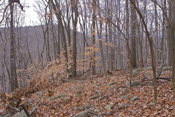
oops! Wrong mountain. That's Point Mountain through the trees.
I’ve bicycled over the top of Musconetcong Mountain and through the lovely river valley down to the Delaware, so I figured I’d ramble in the woods along the mountain ridges.
Did a quick Google and decided to head out for a hike today to Point Mountain.
After an invigorating climb and wandering in loops, I realized – Oops! – I missed the Point – I guess I took the wrong trail off Pennwell Road.
All in all, still a good day lost in the woods.
Maybe we’ll get the Point next time!

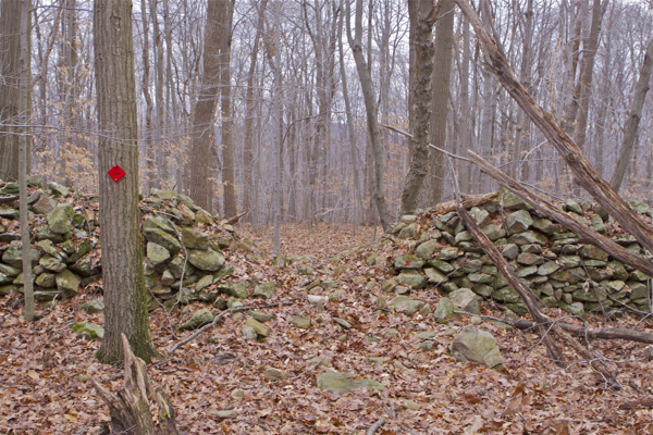
one of the highest rock walls I've seen - almost 4 feet

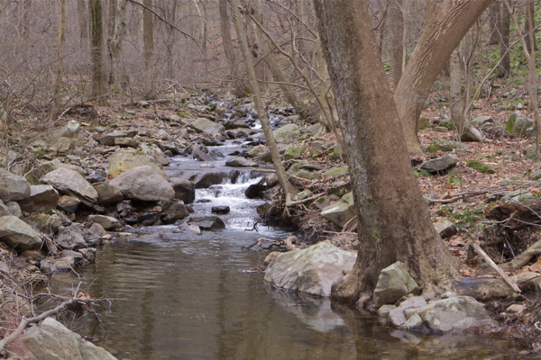
tributary to the Muskie

Pingback: WolfeNotes.com » Point Taken