Archive

Author Archive

Sixty On The San Miguel

June 12th, 2017 No comments

A Legal Rocky Mountain High

_DSC3130

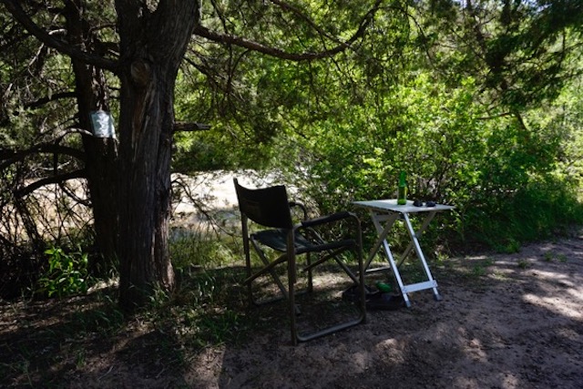
After Friday night camped along the South Fork, we spent Saturday, my 60th birthday, further north along the San Miguel River.  The river is flowing high and fast, after a winter with twice the average snowpack in the San Juan mountains. I had to keep Boie away because he would have been swept away. (photo above – interestingly, that posting on the tree on the left was not put there by Colorado Fish & Game – it was a “placer claim”. The same couple had posted the river downstream for over a mile.)

Before leaving town on Friday to avoid the weekend and upcoming bluegrass festival crowds, we stopped in at Telluride’s “Green Room” – “a recreational and medical marijuana dispensary” – to procure a 1 gram vial of legalized weed (about 4 buds) and get a Rocky Mountain High in the San Juan Mountains. It was quite an experience – although about 5 times more costly than the dope I smoked in college, it was far more potent.

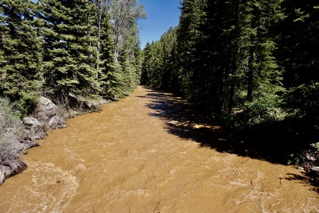
As we left town, we noticed that the South Fork was running very muddy, so drove up a forest service road to try to locate what must have been a major landslide or washout of some sort – take a look how muddy the river was:

_DSC3110

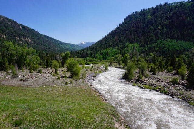
Compare that with a clear flowing tributary (look closely to see it flow into the brown muddy South Fork):

_DSC3113

Drove maybe 10 miles upstream, but source of the problem was further upstream.

We expect to ramble around Colorado west of the great Divide for the month of June, before heading north to Montana and Glacier National Park.

We’ll keep you posted.

Categories: Uncategorized Tags:

Toxic Telluride

June 9th, 2017 No comments

Heavy metals in paradise are poisoning children

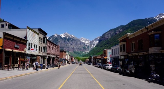
Main Street, Telluride Colorado (looking east)

Main Street, Telluride Colorado (looking east)

Telluride, Colorado

Looks beautiful doesn’t it?

As I hiked in, I saw an old mining building:

former Idarado Mining Company site

former Idarado Mining Company site

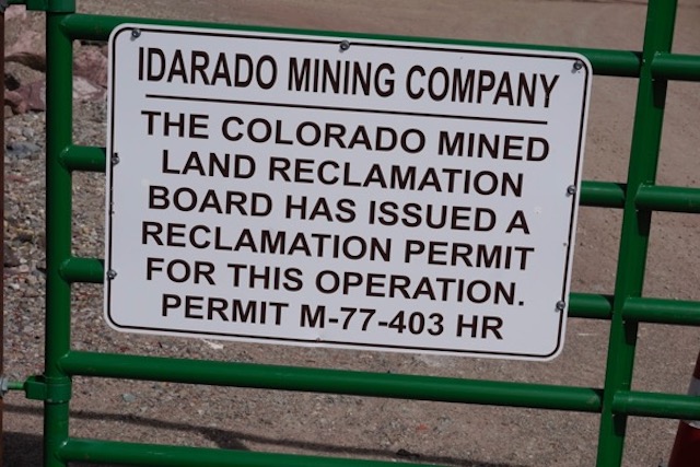
Looking more closely, I came across the sign about a reclamation permit (no mention of remediation):

_DSC3106

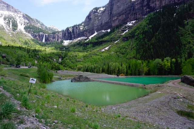
Then I saw these impoundments – no fences and no warning signs – and immediately put the dog on the leash to keep him out of them:

_DSC3088

As I hiked up the mountain switchbacks – breathing dust from the ORV crowd – I worried about the dog drinking the water.

As I suspected, according to the Colorado Department of Public Health & Environment its toxic:

Chemicals

The major human health concern is possible exposure to heavy metals in the tailings, specifically lead and cadmium. However, human contact with tailings is minimal [Note: I question that claim]. The main impact to the aquatic system is from zinc, cadmium, manganese and changes in pH.

Exposure

  • The tailings piles contain elevated lead levels (1,300 to 10,000 ppm) and lead concentrations in some soil samples in Telluride are elevated.
  • A 1986 study, financed by Idarado Mining Co., found 7 percent of the children tested had blood lead levels above 10 ug/dL and the average was 6.1 ug/dL.
  • High zinc concentrations adversely affect aquatic life in local rivers and creeks.

I wonder what the no GMO, No Gluten, organic, vegan, locavore, yoga, & jogging crowd and upscale Telluride tourists think about all that?

The Idarado Mining Company got off easy – this was a gold and silver mine – and it looks like they only did a minor children’s blood monitoring program and paid peanuts in Natural Resource Damages for the massive physical and toxic destruction they caused.

I wonder what the wealthy parents living in all those mansions think about this science:?

Current CDC guidelines hold that to protect child health, blood lead levels should not exceed 10 micrograms per deciliter. However, more recent studies reported adverse effects in children at much lower levels.10 Children with blood lead levels greater than 1.5 micrograms per deciliter were more than 8 times as likely to be diagnosed with conduct disorder compared with children with blood lead levels less than 0.7 micrograms per deciliter.11 Prenatal and early life exposure to lead were associated with the potential for increased risks of adolescent neurobehavioral and mental disorders (e.g., conduct disorder,11 attention deficit and hyperactivity disorder,12 schizophrenia13,14), persistent decrements in school performance and tests of cognitive ability,1517 and increased odds of violent behavior and criminal arrests.1821 This research called attention to the fact that the effects of lead exposure extend beyond previously assessed biological effects.

Moreover, the neurocognitive and behavioral effects of lead persist in impacted children, resulting in life-long repercussions. Child development studies documented that early life difficulties in school continue throughout the exposed individual’s life time.22 It was shown that among exposed children, early childhood blood lead levels as low as 2 micrograms per deciliter negatively impacted future school grades.23 Because academic success is a predictor of improved health, social, and economic outcomes later in life,24,25disproportionate exposure to lead experienced by long-term residents of contaminated mining communities might compromise the ability of community members to lead healthy, full lives.

Wow.

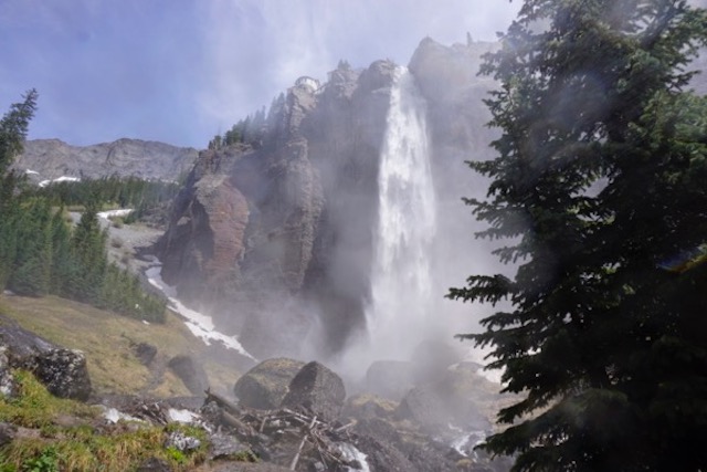
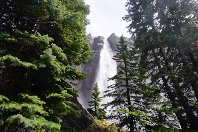
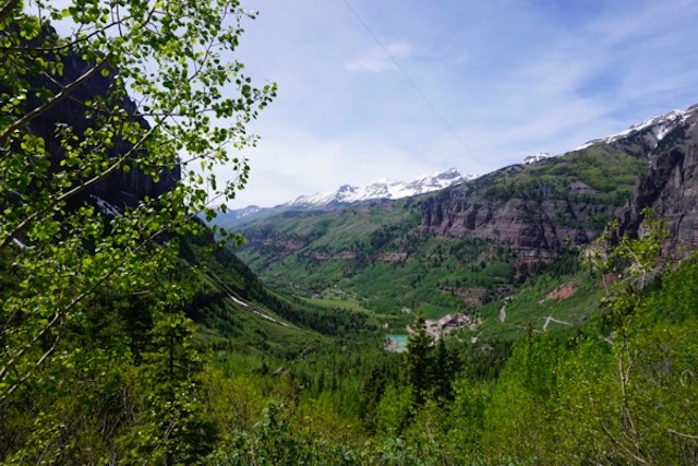
But it sure does look nice:

_DSC3096

_DSC3102

_DSC3100

Categories: Uncategorized Tags:

Boie Hikes The Hoodoos

June 2nd, 2017 No comments

Harsh deserts w/blooming cactus – cool mountains

Parched rivers, lakes, & streams
_DSC2888

Apologies to any readers that are still checking in for being off line for this long. And I still haven’t posted promised photos from a month ago in Texas and New Mexico!

We’re now in Moab Utah, at the tail end of our southwestern National Parks phase.

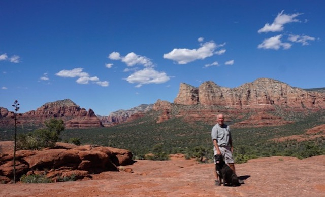
Since Sedona,
_DSC2480

we’ve been in several national forests, Grand Canyon NP, Glen Canyon/Lake Powell NRA, Zion NP, Bryce Canyon NP, Capitol Reef NP.

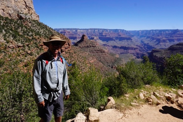
We managed a short but difficult hike to the 3 mile point under the rim at Grand Canyon (6 miles, about 2,000 feet elevation, in 90+ degree heat plus altitude!). Everyone has seen many images of Grand Canyon far better than I can shoot, so here’s my favorite:
_DSC2595

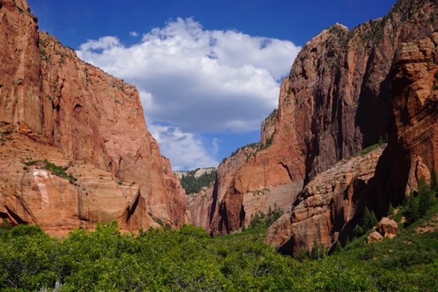
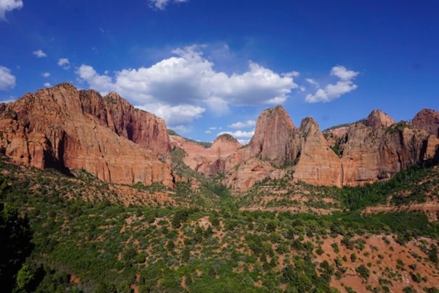
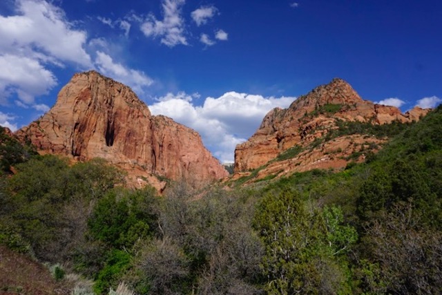
We try to avoid the crowds, which is becoming more difficult as “the summer people” begin to arrive. The best part – and probably least visited place in Zion is Kolob Canyons, take a look:
_DSC2834
_DSC2817

_DSC2822

Bryce Canyon is similarly spectacular and abundantly photographed – I have more dramatic and colorful shots, but here is one of my favorite little groove of trees:
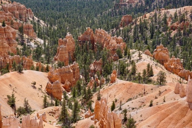
_DSC2885

In an attempt to replicate the wonderful Kolob Canyon experience, we had a scare in Capitol Reef
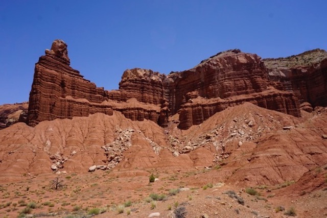
_DSC2932

Long story short, in seeking to avoid the crowds, I misjudged a remote Forest Service road into a place called Cathedral Canyon in the northern part of the park. Got lost, got snowed on, camped at about 10,000 feet and got altitude sickness, and then had to drive over 30 miles on extremely harsh mountain and desert “roads” that inlaces looked like commercial for Jeep or Range Rover! Didn’t think the van would make it:
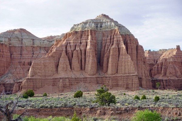
_DSC2953

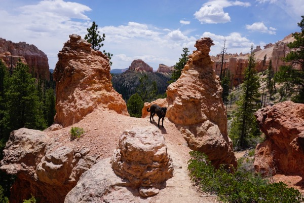
We were able to sneak a hike in a 4 mile loop trail in Bryce Canyon – Swamp Canyon trail, that’s the shot on top  – the NPS encourages folks to “Hike the Hoodoos”:
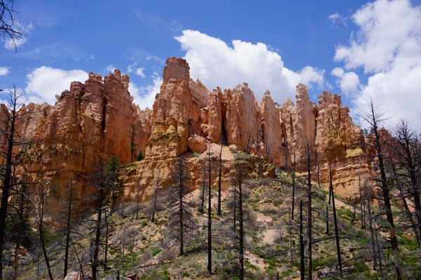
_DSC2893

My one complaint is with the very restrictive National Park Service policy on dogs (banned on trails and shuttle buses, which severely limits our enjoyment of the parks).

Today, we are resting in green spaces, grass and shade in a lovely Moab City park to recharge and let the weekend tourists dissipate before tackling Arches and Canyonlands NP’s.

Here’s some of the scenes in between the National Parks –

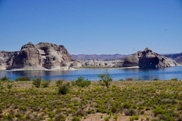
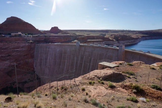
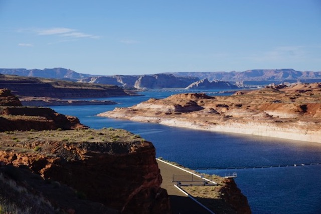
Glen Canyon – Lake Powell (yes, the Lake is being drained by proliferation of demand and over-consumption, evaporation, and climate change – but we had the beach all to ourselves!)
_DSC2672

_DSC2677

_DSC2683

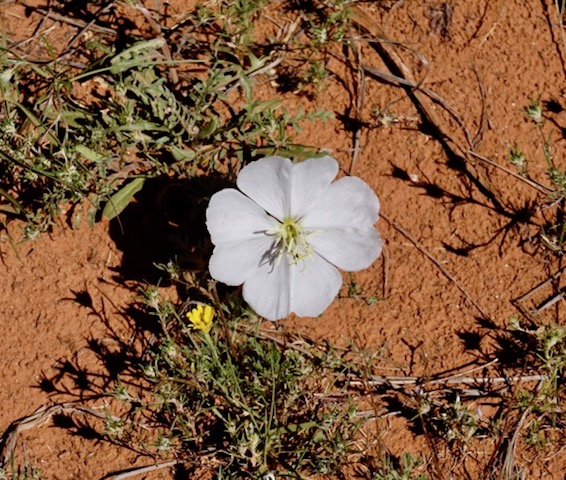
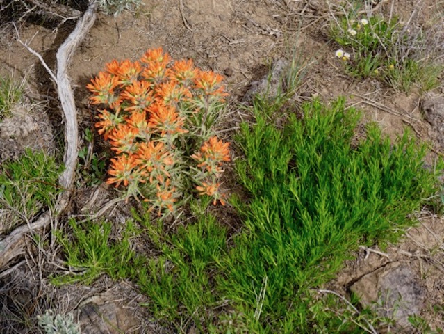
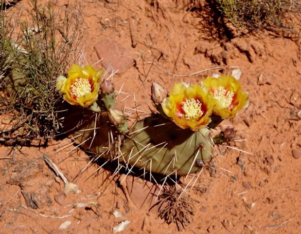
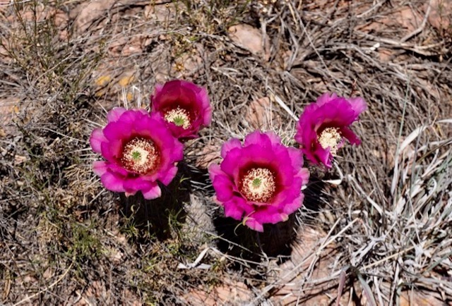
Desert in bloom (apparently the result of an unusually wet winter – don’t ask me what they are!):
_DSC2459

_DSC2471

_DSC2464

_DSC2950

_DSC2947

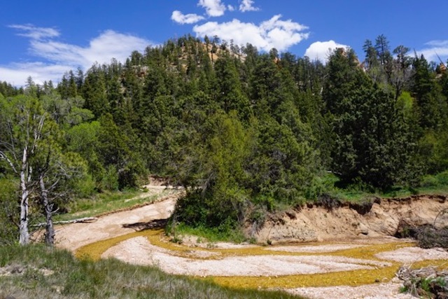
Tributary to the East Fork of the Virgin River (we dispersed camped in this spectacular canyon of a FS road for 4 nights! Not sure what causes the yellow/brown color of stream bed and there were severe erosion problems I am told was due to fire and recent storms):
_DSC2732

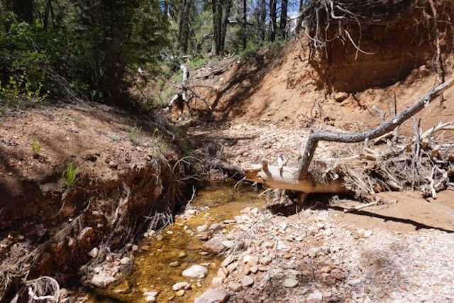
We walked the stream for about a mile above our campsite and here’s where the creek went dry:
_DSC2738

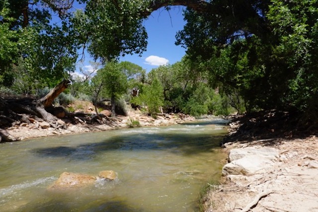
BTW, the Virgin River is channelized as if flows through Zion NP – man made engineered flow through a National Park – not much different that east coast urban rivers! Look!
_DSC2799

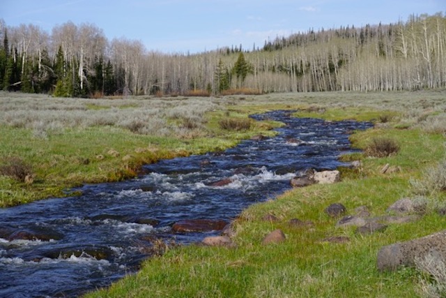
For the visitors to Zion, here’s the natural condition: snow melt in a high mountain meadow, just above Cedar Breaks National Monument:
_DSC2853

Navajo Lake, Dixie National Forest –  camped at a spectacular remote site for 4 nights. There was some snow in the mountains, but with snow melt almost complete, the lake level is very low :
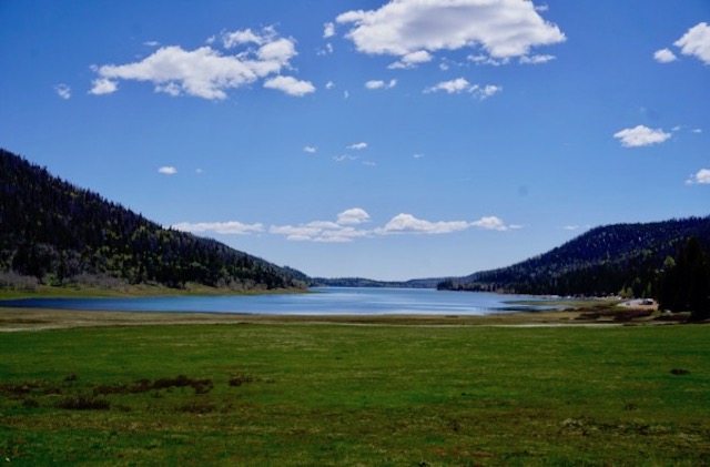
_DSC2781

Crossing the cool and high flowing Escalante River: (while other rivers and streams in the region are dry, farmers and ranchers are irrigating for hay!):
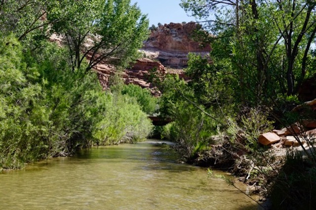
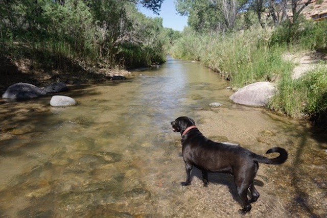
_DSC2921

_DSC2916

And, after this lengthy update – and I still haven’t posted the Texas and New Mexico shots! –  we’ll leave you for now with this bookstore visit:

_DSC2807

Categories: Uncategorized Tags:
How’s This For A Campsite?

May 20th, 2017 No comments

Coconino National Forest

_DSC2400

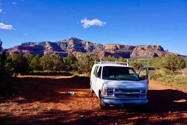
Almost every day I say: “We’ll never find another campsite this nice!”

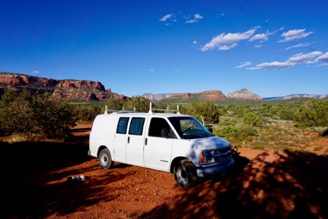
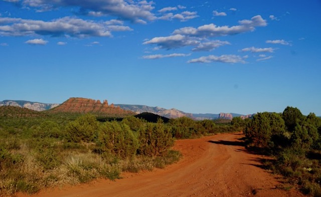
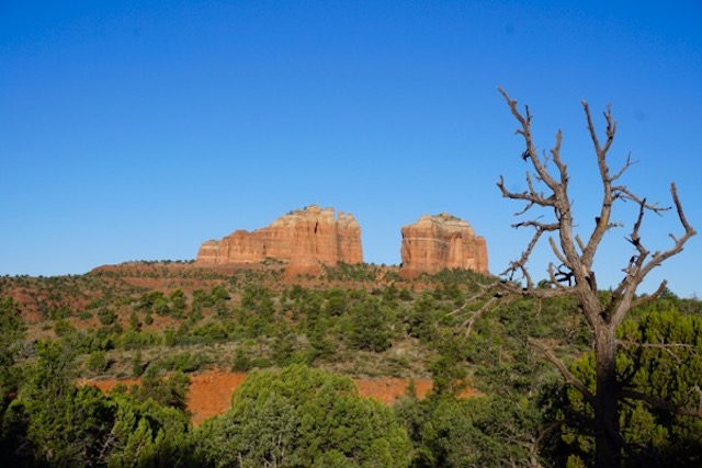
Here’s our campsite at sunset last night – just outside of Sedona, Arizona.

After two superb hikes this morning and one yesterday, we are taking refuge from the heat and sun for a short rest in the library (more on all that soon, plus shots from Texas and New Mexico).

_DSC2401

_DSC2412

 PS – this was our Thursday night campsite at sunrise yesterday, just south of Sedona:

_DSC2383

Categories: Uncategorized Tags:

Rio Grande – Off The Wall

May 17th, 2017 No comments
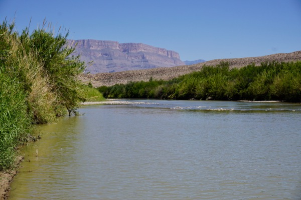
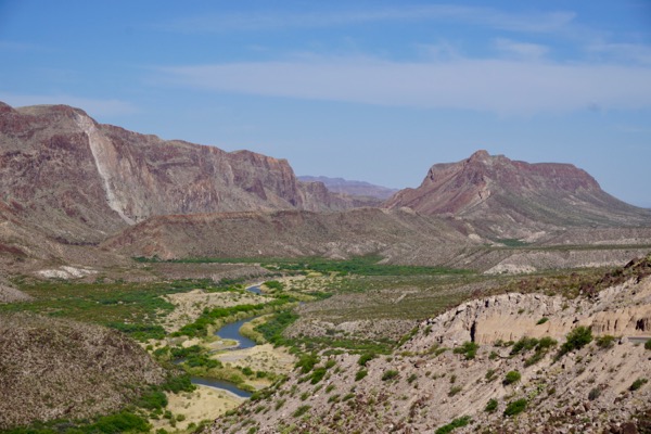
Rio Grande river at Big Bend National Park, looking southeast. Mexico is on the right (5/1/17)

Rio Grande river at Big Bend National Park in Texas, looking southeast. Mexico is on the right (5/1/17)

Man may seek such [wilderness] scenes and find pleasure in the discovery, but there is a mysterious fear that comes over him and hurries him away. The sublime features of nature are too severe for a lone man to look upon and be happy. ~~~ Thomas Cole (1820’s) as quoted in Nash (p.79)

What shall we do with a man who is afraid of the woods, their solitude and darkness? What salvation is there for him? ~~~ Henry David Thoreau, quoted in Nash (p.91)

Yesterday marked one month since we began our adventure, so I thought I should post brief observations and some photos of where we’ve been.

Overall, its been incredible and far better than I had imagined.

I am experiencing incredible landscapes and everyone I’ve run into is friendly and interesting. I am sleeping and eating well, walking more, drinking less, and haven’t had a bad day or heartburn, not even once. My buddy Bouy is having a blast – chasing elk is his latest game – and actually enjoys his little bed-cave in the van. The van is running great and all systems working. BTW, we are camping on National Forest or Bureau of Land Management lands, for FREE!

On the downside, we’ve run into a lot of extreme weather. After a beautiful day in Shenandoah National Park, we had a week of cold rain and fog along the Blue Ridge. In trying to drive away from that mountain weather, we hit tornadoes, golf ball size hail, 50 mph winds and flash floods in Little Rock Arkansas. After that, we had record low temperatures in the desert in Texas (28!), harsh high winds and heat conditions in the desert at Big Bend National Park, lightning storms in Arizona, and even snow in Flagstaff Arizona! All in just one month! (and it looks like we left Big Bend NP and Chisos Basin just before the wildfire!)

I’m having slight altitude adjustment issues camping here at 7,000 feet – light-headed, shortness of breath easily, and not much stamina.

Also, I am reading and writing less. Just finished re-reading Roderick Nash’s classic “Wilderness and the American Mind”. Visited an excellent local bookstore here in Flagstaff and picked up a copy of another classic I never read: “Water and the West” by Norris Hundley Jr. about the history of the Colorado River Compact. I’m only on Chapter 4, but there are echoes and huge ironic historic parallels between early 20th century advocacy for an “All American Canal” and the current debate over Trump’s Wall.

Here’s a flavor of the history from Hundley: in response to the use of Oriental labor on the Mexican Delta by LA Times publisher Chandler to build competing water infrastructure to benefit the development of Mexican lands  – another irony in light of the movie classic “Chinatown” – California Imperial Valley residents claimed that Chandler was using “Japs and Chinamen” to steal water that belonged to “red blooded, free Americans“. Asiatics and Mexicans were denounced and said to “undermine our social standards, destroy the efficiency of our schools, and fill our courtrooms”. They accused Chandler of “betraying the real American workman” and “subjecting Americans to unsanitary conditions”. In early 1900’s testimony:

Who wants to drink from a stream when he knows that there are 7,000 Chinamen, Japs, and Mexicans camped on that stream a few miles above in Mexico?” (page 33-34).

Sound familiar? An historical continuum of deplorable racism.

We ran into US Border Patrol twice in Texas, and were screened by dogs and forced to stop and answer questions at one checkpoint. I took strong exception to this with the agents. They didn’t understand why I was concerned and told me that illegal migrants travel 7 miles across the desert at this specific point. My thought – which I didn’t share with the agent – was that anyone who could travel 7 miles across that desert should be exactly the kind of people we embrace and reward with citizenship- smart, brave, tough, determined, hard working, strong and committed.

At Big Bed National Park, I met a Rio Grande river tour guide as he was loading canoes onto his trailer at the end of the day. We had a good conversation about the river and the region. He suggested I spend the night nearby in an old ghost town named Terlingua. He said that it was the cultural center of the region and that I should be sure to spend some time and have a few beers and music on the front porch. He also advised that I drive along the Rio Grande river on RT. 170 for some spectacular scenery on my way north.  I forgot to ask him about the green color of the river, and whether that was a result of eutrophication or minerals or some other reason.

I took the man’s superb advice. We easily found the front porch. I had beers and conversations with the, lets say, very interesting locals, and met a lot of cool dogs too. We had live music, a burger, and beers at the Starlight Theater – and Monday was 2 burgers for 1 night so Bouy got meat instead of his kibble!

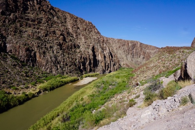
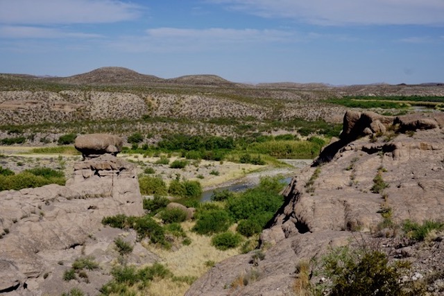
Here’s some of what I saw along the Rio Grande – where is Trump going to build the Wall here?:

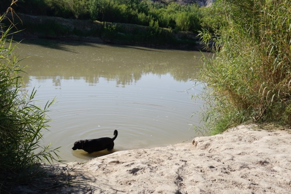
Big Bend Park ranger warned us about Javelina's, who had been coming down from the mountains and killing dogs. Just before we shot this photos along the Rio Grande, Bouy chased 2 Javelina's along the riverbank! Those fat pig looking animals are very, very fast! He came back 10 minutes later with his tongue hanging out of his head, desperate for water!

Big Bend Park ranger warned us about Javelina’s, who had been coming down from the mountains and killing dogs. Just before we shot this photos along the Rio Grande, Bouy chased 2 Javelina’s along the riverbank! Those fat pig looking animals are very, very fast! He came back 10 minutes later with his tongue hanging out of his head, desperate for water!

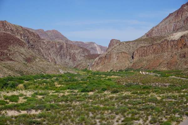
I wish I wrote down the name of the mountains and this pass. River in green foreground (5/2/17)

I wish I wrote down the name of the mountains and this pass. River in green foreground (5/2/17)

Mexico is on the left - I hear NPD story this morning that a wall would block migrations of lynx and jaguar's and unknown other migratory species, leading to extirpation and extinctions. Scientists say they are hassled by US Border Patrol and their monitoring equipment is vandalized. WORST OF ALL, in 2005, Congress authorized Homeland Security to waive NEPA, the Endangered Species Act and other environmental Lawes to expedite construction of the wall!

Mexico is on the left – I heard an NPR story this morning that a wall would block migrations of lynx and jaguar and unknown other migratory species, leading to extirpation and extinctions. Scientists say they are hassled by US Border Patrol and their monitoring equipment is vandalized. WORST OF ALL, in 2005, Congress authorized Homeland Security to waive NEPA, the Endangered Species Act and other environmental Lawes to expedite construction of the wall!

_DSC2059

_DSC2066

All for now – next post we show places in New Mexico and Arizona.

Categories: Uncategorized Tags: